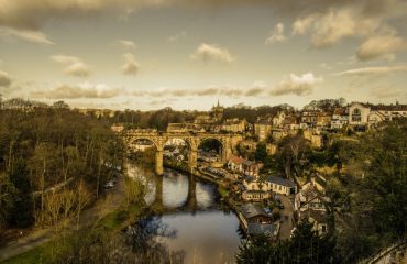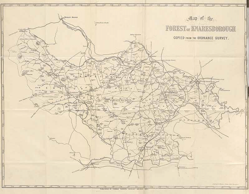
The Forest of Knaresborough was a royal hunting forest covering 42 square miles to the south and west of Knaresborough between the river Nidd and the river Wharfe. It encompassed many towns and villages of the surrounding area.
History
The earliest surviving references to the Forest of Knaresborough is in 1167 meaning that the area was probably created sometime in the 12th century. The forest was a favourite hunting ground of Henry the second and King John. So glorified by nobility was this hunting ground that Edward the third settled the honour of Knaresborough on his wife Philippa gifting her the barony which included the forest of Knaresborough and the castle. After the death of Philippa this honour was then granted to John of Gaunt the Duke of Lancaster and Edwards son. This honour has remained in the Duke of Lancaster’s ownership to the present, although after Henry the Fifth the title has been merged with the crown. The Forest of Knaresborough was not a continuous stretch of woodland as may be assumed from the name but rather it was a marked hunting area for use by the royalty. Inhabitants of the area lived in villages and hamlets surrounded by arable farmland and meadows to be used by the villagers for farming for their livelihoods. Within the area were two distinct dedicated deer parks, Haverah Park and Bilton Park. The inhabitants of the royal forests were subject to a body of law which explicitly forbade the hunting of game, of note the deer. The law also forbade the felling of trees for lumber to maintain the environment needed for deer and keep the aesthetic of the area that the royals preferred. These inhabitants were tenants of the crown and provided they did not interfere with the King’s hunting they were free to make their living within the area of the Forest of Knaresborough.
Haverah Park and Bilton Park
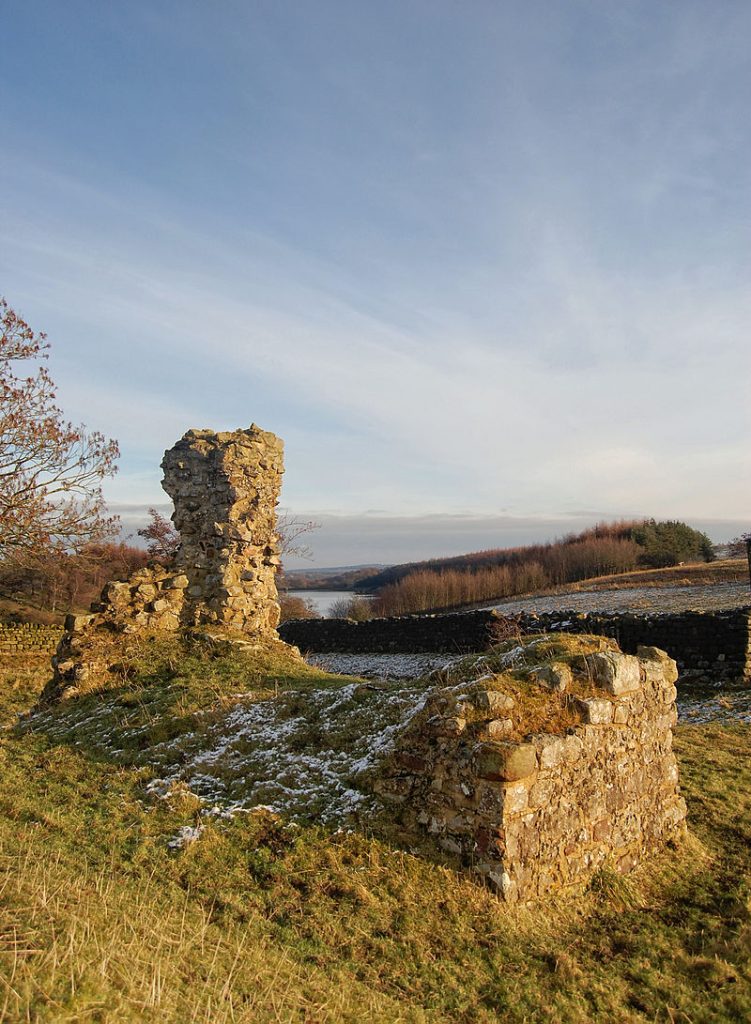
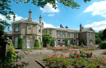
These two areas were specialized deer parks within the Forest of Knaresborough. Deer parks are specially constructed walled areas which allow wild deer in but restricts their ability to leave, through the use of ditches and fences. This allowed a controlled growth of deer populations within the area and provided the definitive opportunity to hunt them in an environment that the royals could be certain to find their quarry. Haverah park has a name that is a compound of old Norse and old English with a translation meaning hunting enclosure and a corner of land. This park was constructed around the late 12th century and was later owned by the Ingleby family of Ripley Castle. The population of the park today is estimated at a surprising 30 people. The area now contains several scattered farms. This park has the remains of a hunting lodge which can still be seen today, known as John O’Gaunts Castle. In Bilton park there was also a hunting lodge. Which was built around 1380. In the 19th century it was remodelled into what is now known as Bilton Hall.
John O’Gaunts Castle
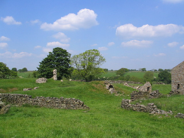
John O’Gaunts castle is now situated close to Harrogate and was once used as a hunting lodge by the Duke of Lancaster. Its ruins are on the end of a spur within the Haverah Park. Its ruins showcase a ditched platform. Which most likely has a castle-like curtain wall and a gatehouse with a bridge over a moat. The lodge reflected its royal roots by showcasing itself as a castle containing a chapel and even a Queens chamber.
Decline of Hunting
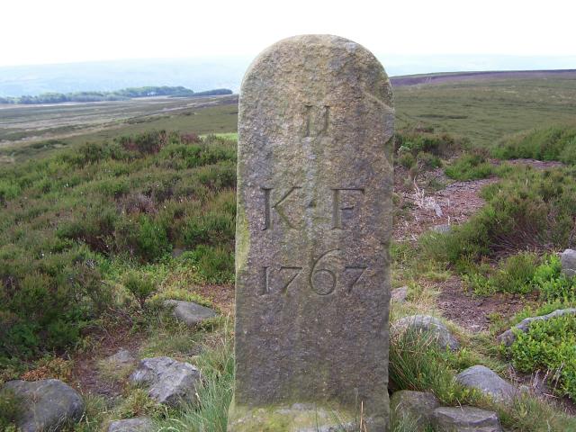
By the Tudor times the Forest of Knaresborough had outlived its original purpose. The English monarchs started spending less time hunting. This left the area open to exploitation. With many of the trees being stripped for the timber or iron smelting industry. A survey in 1604 found that only 410 trees still stood in the Haverah Deer Park. Following this in 1628 Charles the First sold off both Bilton Park and Haverah Park. The town of Harrogate grew into the forest area during the 17th and 18th century. In 1770 a section of the forest was then given to Harrogate as a public open space. Which is known today as the stray. The majority of the visible remains of the Forest of Knaresborough are now summed up by the large number of boundary stones that were erected during the 1767 land analysis, and they remain today in relatively good shape.
The Stray
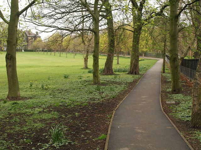
The stray is a former part of the Forest of Knaresborough which was given to the town of Harrogate. Currently it is a long area of public parkland linking the town’s curative water springs together. Forming a U shaped green belt around a portion of the town. In 1841 an act of parliament named ‘ The Harrogate Improvement act’ established a committee of gate owners. The people who utilize the land on the stray for grazing. This act allowed the gate owners to use the stray for purposes other than grazing animals. Another act of parliament in 1893 required that the stray to be maintained as a public open space. This led to Harrogate council becoming a custodian of the space. In 1932 the planting of shrubs along the Stray led to the formation of a group called the Stray Defence Association. With their goal being to safeguard Harrogate’s Stray. Fighting against building and encroachment and upholding the act granting freedom of the stray to all people for all time. They are still active now nearly 90 years later. The stray now is well known for its long history of parades and town events. During world war two trenches were dug due to a fear that German planes might use the land as a runway.


